Most cyclists who enter Mongolia through the western border with China stick to the main road for the first days, heading north or east. But there’s an unpaved, incredibly beautiful, and not-so-well-known alternative that takes you across the Altai Mountain Range on an unforgettable adventure. Get off the beaten path from day 1 in Mongolia thanks to one of the coolest routes in Western Mongolia, and probably in the whole country.
You’ll find the GPX files of this route at the end of the article.
Content:
- The route in numbers
- Day 0: Reaching Bulgan from Xinjiang (China)
- Days 1 & 2: (Big) Bulgan to (Small) Bulgan
- Days 3 & 4: (Small) Bulgan to Deluun
- Day 5: Deluun to Tolbo
- Day 6: Tolbo to Ölgii
- Final notes: alternatives, extensions & opposite direction
- GPX files
The route in numbers
Total Distance (Bulgan – Ölgii): 415 km
Total ascent: 4,210 m
Total descent: 3,480 m
Max altitude: 3,050 m
Duration: ~6 days
When we rode it: Beginning of August 2025
Unpaved: 340 km (~82%, 100% from Bulgan to Tolbo)
Day 0: Reaching Bulgan from Xinjiang (China)
We entered Mongolia from Taikeshken (sometimes written Taykeshken), in Xinjiang (China), a small town 15 km from the border that we reached with a mix of cycling and hitchhiking from Urumqi. At the border, you’ll go through the typical passport controls and your luggage will be scanned (at least on the Chinese side). The Mongolian officers let us leave our stuff attached to the bikes with no inspection, though. If there isn’t a crowd, the whole thing takes around 45 minutes. Note that the border closes on the weekend, and it is not open 24/7! Try to cross between 8 am and 7 pm from Monday to Friday, and avoid national holidays, or you might get stuck at the border for at least one day!
From the border to Bulgan (just under 50 km / +300 m) there’s a paved road in great condition, very little traffic, views of the lower Altai, and sometimes a helpful westerly wind—usually blowing west to east, i.e., in your direction. Easy stuff before the real adventure!
We stayed one night at the only hostel open when we were there—just to shower and wash some clothes. I wouldn’t recommend it for much else. A better option is to camp by the river right before entering Bulgan: beautiful meadows and fresh water. In town you can withdraw cash (there’s an ATM), buy a SIM (~€6–8 for 30 days / 20 GB), and stock up for the next couple of days.
Days 1 & 2: (Big) Bulgan to (Small) Bulgan
127 km / +1160 m / -445 m
Completed in 2 days (63 km / +460 m / -175 m; 64 km / +700 m / -270 m). First half on pretty bad dirt, second half much better.
No typo here—there really are two towns with the same name. Locals distinguish them as Big Bulgan (first town from the border) and Small Bulgan (after ~125 km to the north).
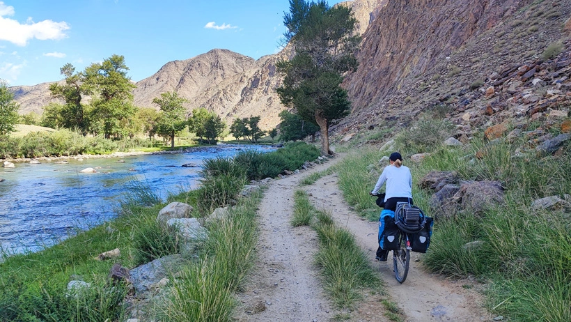
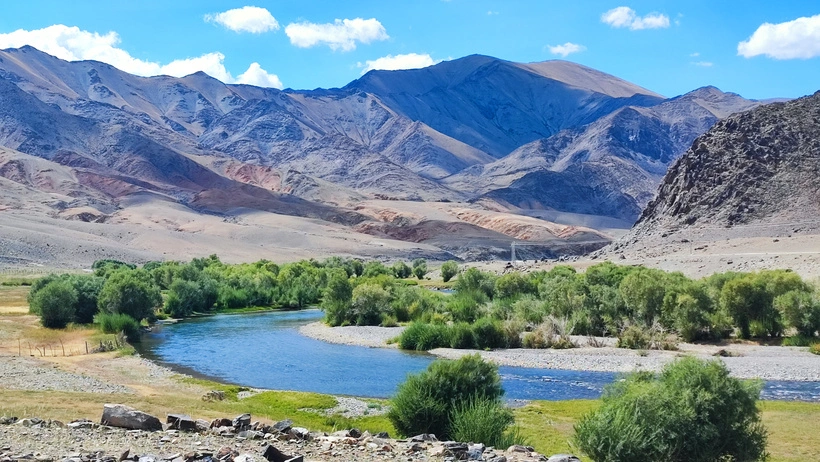
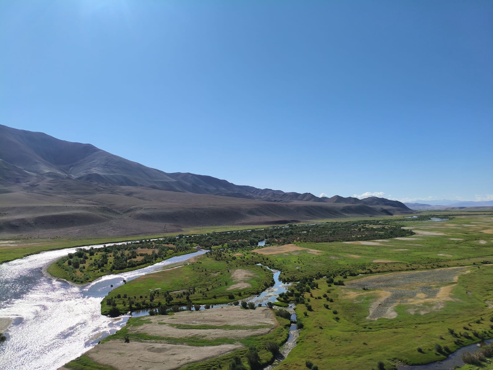
For me, this is the most beautiful part of the whole route—and also the most challenging. The altitude gain isn’t huge, but the sandbanks and rocky sections force you to push the bike several times. The upside? You follow a ridiculously blue river through a canyon full of dreamy camping spots—soft grass under trees, surrounded by mountains, some of them snow-capped.
Tech notes:
-
Tires. I run 1.50” tires; Rebecca has 1.75”. She floated a bit better over sand, but honestly, deep sandbanks will catch you no matter what, so be ready to push and train your upper body 😂 Extra weight (especially extra food) didn’t help me either.
-
Food & help. Basically none until Small Bulgan. Water is fine once you reach the river after ~25 km (it’s clean but filter it—tons of animals on both shores). No shops at all along the way. In general, for this route you should bring enough food for 3 days and water for a complete day, maybe a bit more for the second half, just in case.
-
If something goes wrong. Options are limited: wait for a jeep (maybe one every 1–2 hours) or try the tiny settlement Bazar Köl Suma (~km 80, where you cross to the left bank over a small bridge), which you won’t always find on maps. When we passed, we didn’t see a single person—just scattered houses. Google Maps even shows a supermarket on the far side of the river; I wouldn’t rely on that.
The route starts shortly after Bulgan and isn’t marked, but it’s on my map and clearly visible on OpenStreetMap (OSM). You’ll see a little house on the left where you leave the tarmac. Then you’ll face a couple of dirt tracks heading toward the mountains and the riverside trees. Take the right-hand one (the OSM track). We chose the left because it looked better, and it led to a sandy detour through farms and yurts, plus a few stream crossings. We eventually rejoined the main line—but wasted time for nothing.
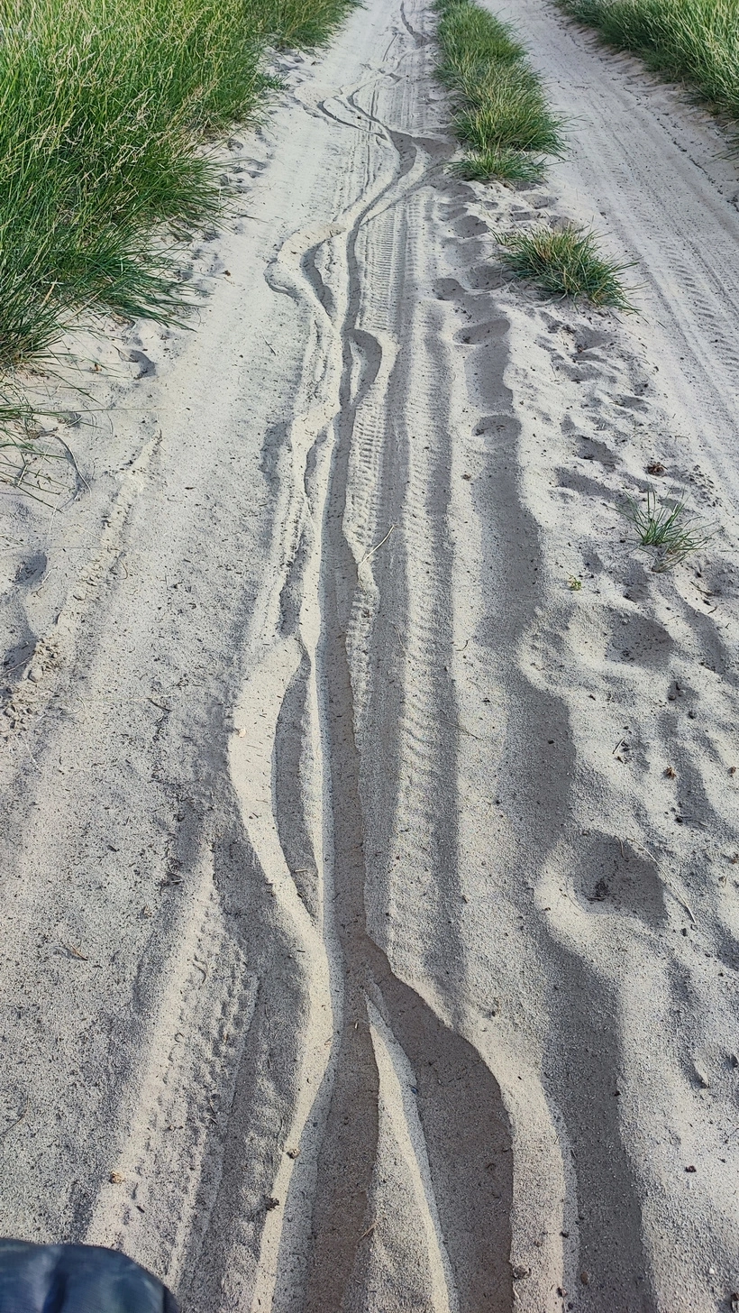
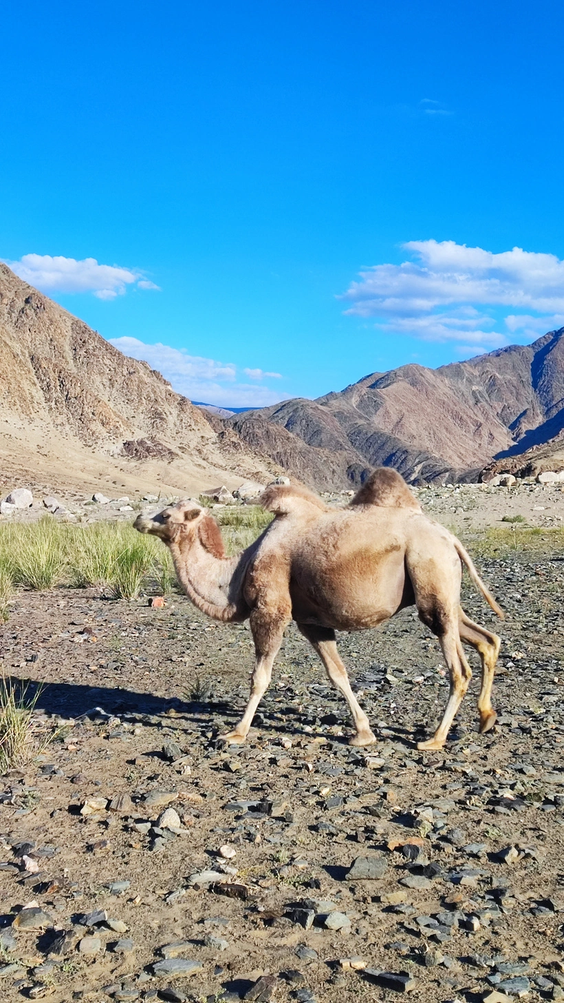
The first 20 km are pretty dry. As soon as the path drops to the tree line along the river, you’ll hit your first sandbanks, and you’ll probably spot the first camels hanging around. If you step off the path to reach the water like we did, beware of thorny seeds hidden in the sand—puncture city (my second flat since we left home, the first since the Bartang Valley). After ~20 km along the river those seeds disappear. You’ll still find sandbanks, but rocky terrain starts to pop up, especially where the map shows lots of turns.
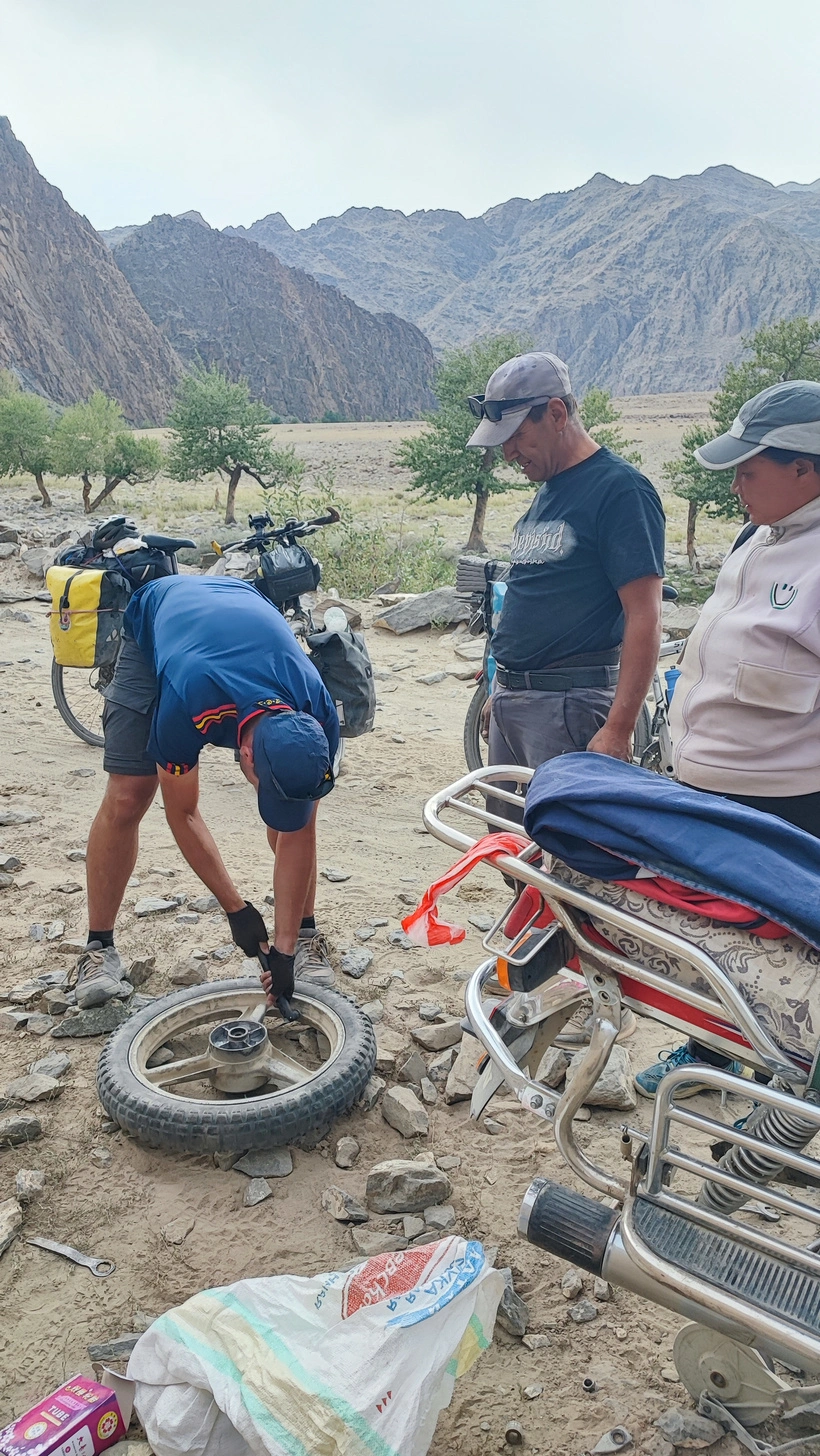
We even met two locals on a motorbike with a flat. We pumped their spare tube with our cheap, low-quality bike pump 😂 It worked, fortunately—they still had 70 km to Small Bulgan, daylight fading, no food, no camping gear, and no jeeps for a couple of hours.
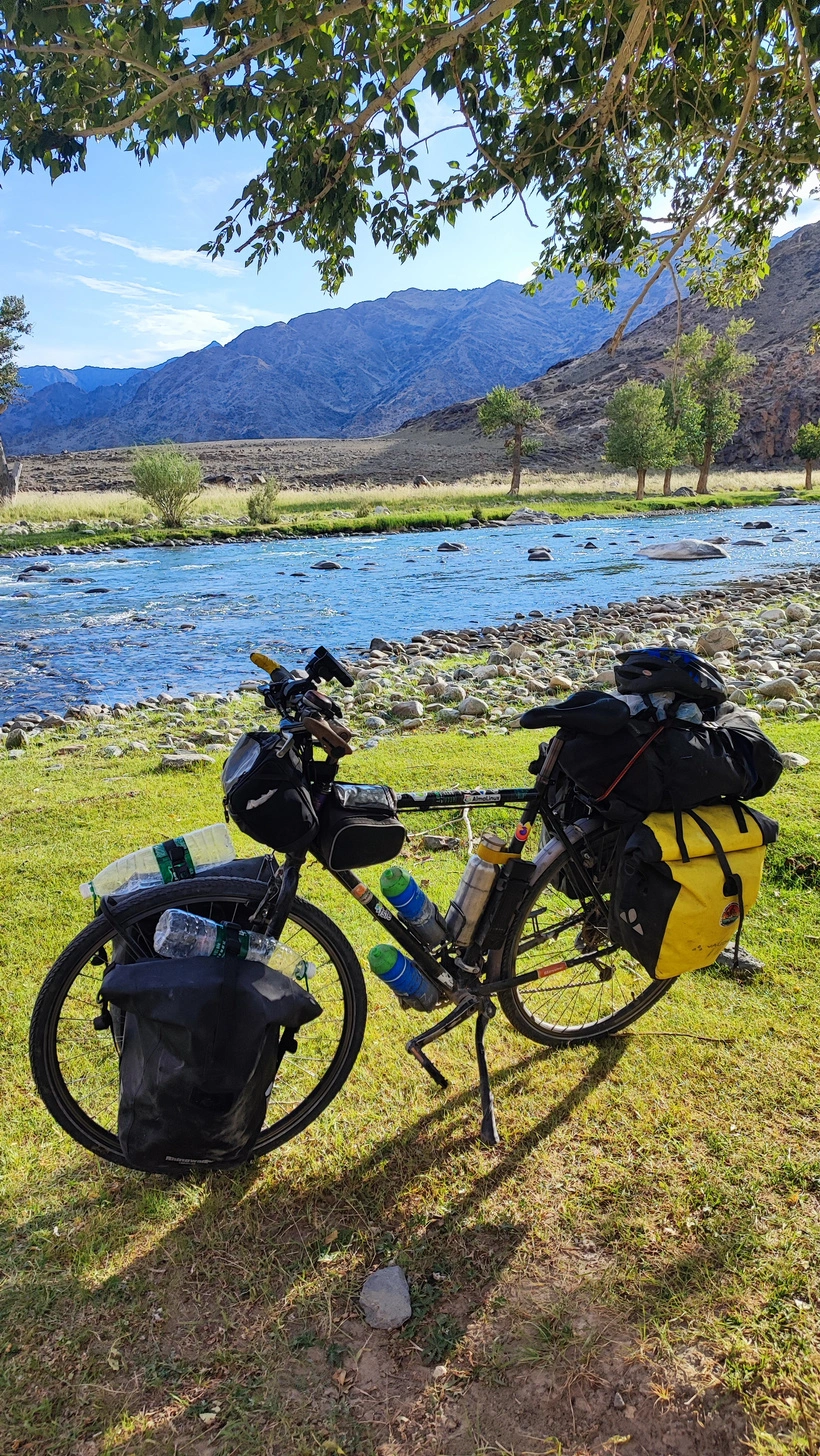
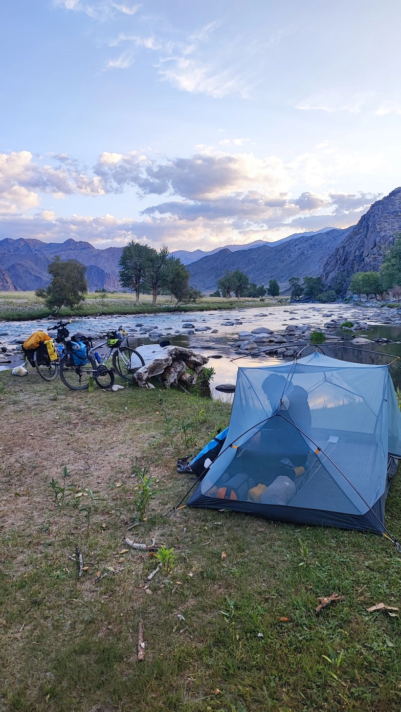
Campsites? Endless! We chose a grassy little “island” midway between the two Bulgans. You will find awesome camping spots every 1-2 km in this area, always close to the river and under some trees. In my opinion, Mongolia is one of the best countries to wild camp because the rivers are always very clean, no one minds if you wild camp, and it is very easy to find nice spots.
Day two is easier: the road improves, especially in the last 20 km as the canyon opens up. You’ll spot single tracks on both sides of the main dirt road. Take them whenever you can. Locals use them to dodge the rough stuff; they’re flat, non-technical, and way smoother than the corrugated main line. We got a bit too playful once and followed one that drifted out of the valley—we had to cut back across fields to rejoin the route. I’m pretty sure that detour shows up on my map near Small Bulgan. You can skip that one 😉
We rolled into Small Bulgan in the early evening planning to resupply and ride a few more kilometers before dark. The town has more shops than you’d expect, and a couple of tiny eateries, but we couldn’t find bread. The supermarket owner promised fresh loaves next morning. Meanwhile, the weather turned, so we camped just beyond the bridge—green meadow, trees, out of sight. In our experience mornings are usually great; afternoons get windy (riding S→N it’s often, not always, headwind), evenings turn cloudy and sometimes rainy.
Bread tip: in small Mongolian towns it’s harder to find than elsewhere. Many families bake their own daily and don’t buy it in shops. Bread isn’t a staple like dairy or horse meat. You’ve probably heard Mongolian food isn’t world-class—I have to agree…
Days 3 & 4: (Small) Bulgan to Deluun
135 km / +1750 m / -1395 m
Completed in 2 days (63 km / +860 m / -270 m; 72 km / +890 m / -1125 m). Decent dirt road; long, fun single tracks.
With the promised bread in our bags, we headed for Deluun (also written Delüün). The road is way better here, and the bike-pushing phase is mostly over. You’ll even get long stretches of single track—super fun to ride 😊
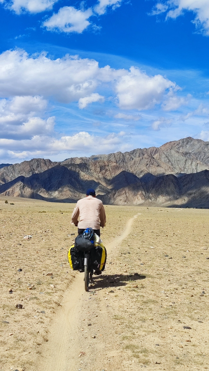
This section includes longer, steeper climbs and the highest point of the route (~3050 m), but nothing a regular touring setup can’t handle.
The water saga (a.k.a. don’t carry a swimming pool): We knew the Bulgan River would vanish after ~25 km and had been told that all small creeks were dry and only big rivers on the map carried water. So we loaded 20 liters for two people (yep). I hauled 18.5 liters uphill… for absolutely nothing! A few kilometers later we reached a river we followed up to the plateau, with water on the plateau too 😂 It isn’t on the maps, but it’s real and carries enough flow not to dry out in summer. Some folks like to magnify the “no water” drama; in our case, it was clearly exaggerated. The truth is: there’s no water from the plateau until ~25 km after the high pass—but you don’t need 20 liters for that. Carry what you’d take for a normal day. Trust me on this: bring enough food and water, but don’t waste energy (or torture your spokes) with useless weight 😉
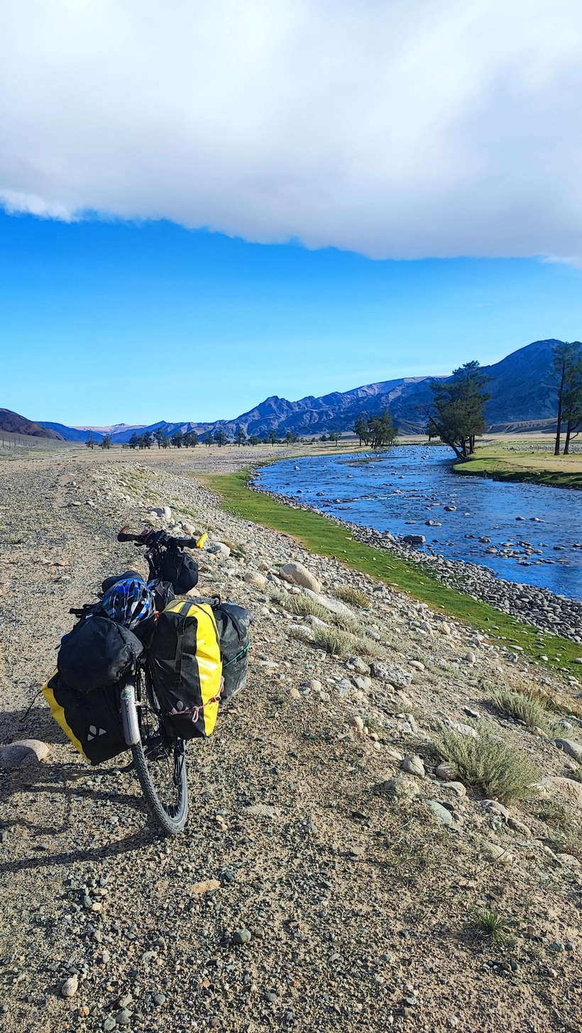
We left the pass for the next day and camped on the plateau. It was windy (like almost every evening) and getting cold (~2500 m). Not many natural windbreaks up there, but we found a low stone wall and extended it for shelter—then the wind died overnight (like almost every night). Mid-August, hot days, but our tent and bottles were slightly frozen in the morning. Never underestimate Mongolian cold, especially in the mountains!
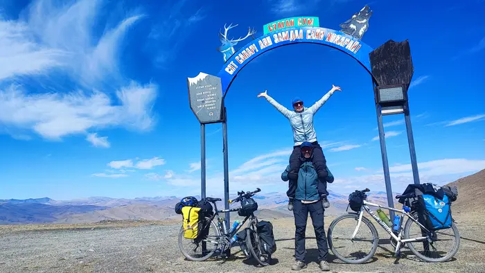
The pass to the high point isn’t especially steep or exhausting—about +400 m with almost no U-turns (two near the end, but the straight line was in better shape, so we took it). If you’re fit from previous adventures, you can do it in one go without a foot down 😉 At the top there’s a small arch (photo op!) and a very basic bathroom. Locals sometimes drive up to snap the arch, barely glancing at the vast views—maybe they’re used to them. They’ll probably be more curious about you and your trip (offline translator to the rescue 😁).
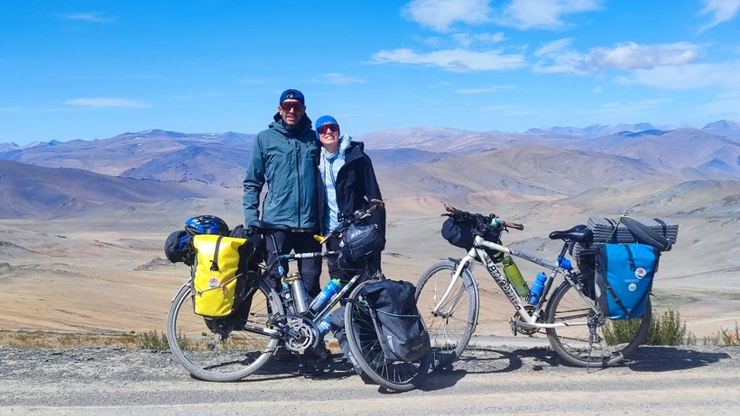
The descent is gentle, then a short flat, then a second, shorter pass—easier than the first. Another easy descent, another river for water. Deluun isn’t far. The first ~15 km are fine (a bit corrugated), with several parallel lines—one is usually better. The last 10 km are worse (all approaches to Deluun kind of suck): lots of rocks and big corrugations. But once you see Deluun, motivation takes over—you’ll make it before dark.
Deluun is bigger than Small Bulgan, with several supermarkets (we even found frozen bread in one). We arrived with a massive sandstorm brewing and waited in a shop. The owner—a young guy with good English called Jandoos, please say hello to him if you have the chance!—invited us to sleep in his yurt and invited us to have dinner with his family. Our first horse meat and proper Mongolian dairy tasting. Heavy stuff for delicate European stomachs, but we survived 💩👌
Day 5: Deluun to Tolbo
85 km / +840 m / -820 m
Completed in 1 day. Corrugated dirt at first; tarmac at the end.
Morning weather was great again, so off we went toward Tolbo—the last town before tarmac. I’ll be honest: the first part is terrible. Fifteen kilometers of washboard, slightly uphill, sometimes sandy, nothing special scenery-wise, probably headwind (it was for us). You’ll hop from one parallel track to the next—left, right, left—hunting for a smoother line. Spoiler: they all suck.
Thankfully it’s short. After the first small pass, things improve. There’s a second pass later—also not steep, similar surface—and on the descents we kept scanning for the best-conditioned track.
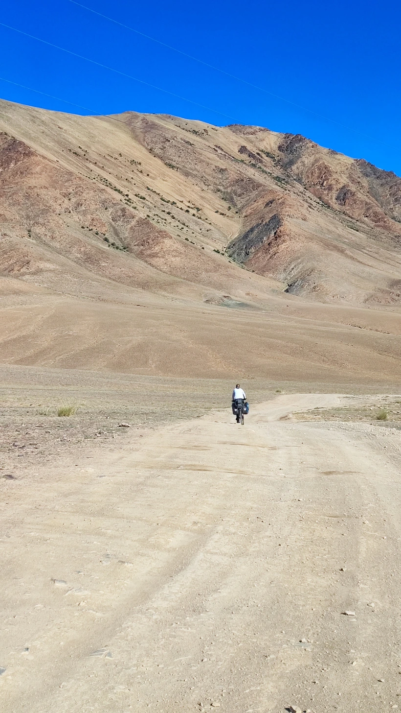
After the second pass and the straight glide into the valley, the landscape gets more interesting: snow-capped peaks, more yurts and horses, and a couple of alternatives to avoid the slightly heavier traffic here (still only a car every 10–15 minutes). On my map you’ll see the alternative we chose: two tiny passes with big views. Some sandy/corrugated bits, but nowhere near as bad as the early days. There is not much water in this area, so bring enough from Deluun, or try to get some at the yurts if you need more.
Tolbo is small and unremarkable for cyclists—basic shops, that’s it—but it marks the triumphant return of pavement. We rolled a couple of kilometers on the Khovd–Ölgii road and ducked off to the right where we found decent shelter from the evening headwind
Day 6: Tolbo to Ölgii
70 km / +460 m / -820 m
Less than a day. Perfectly paved.
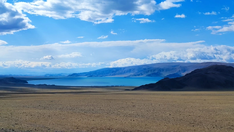
From Tolbo, the adventure is basically over. A pristine paved road links Tolbo and Ölgii, with just two short passes you’ll float over at this point. Views are still great—mountains on both sides and Tolbo Lake sparkling on your left for a few kilometers. Note that there are no sources of water or places to buy food on the way, but apart from that, there are no real challenges left. The very last stretch (around 10–15 km) is a sweet downhill all the way into the center of Ölgii.
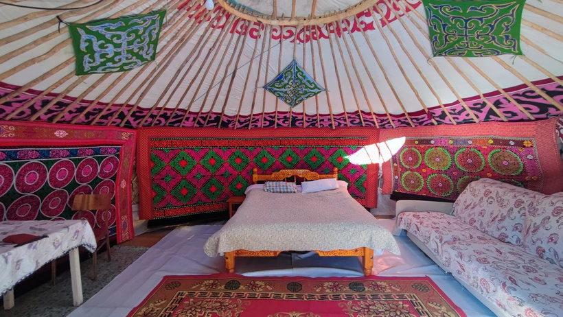
Ölgii is a proper city: loads of ho(s)tels, big supermarkets, cafés, etc. We stayed at Traveler’s Guesthouse, well-known among bikepackers and backpackers. You sleep in a yurt (shared or private). We paid ~€13 per person per night for a private one; shared is cheaper. A very basic breakfast is included; no kitchen to cook (at least when we were there). By the way, there is a pretty decent and inexpensive restaurant with local food on the other side of the road, 200 meters away from the guesthouse. Ask the owner (a lady who is often difficult to find), and she’ll recommend that one.
Final notes: alternatives, extensions & opposite direction
The real adventure does not necessarily need to end in Tolbo. From there, there is an additional off-road track towards Ölgii over Buyant that we could not follow because we didn’t have enough time. We talked to a couple who had ridden it, and although they had found some sections quite dry, they still managed to make it through by finding water along the way.
There is also another option someone told me about after following my route up to Deluun: instead of continuing towards Tolbo, you can leave the main route near Deluun at 47.958464, 90.579314 and head directly towards Tal Lake (some potential bike pushing before and after the lake, apparently not that bad but a bit steep). That cyclist told me it was an amazing alternative, with beautiful grasslands, spectacular views of glaciers and several rivers along the way, with water available for most of the route. This is quite different from what the other cyclists told us, as they did not particularly enjoy the route and had trouble finding water, perhaps because they were there earlier in the season. The snow was still not melting. They had also arrived in Mongolia after travelling through Japan, under much less demanding conditions, and seemed a little overwhelmed by the challenge of this route. Depending on how adventurous you are, one option may suit you better than the other!
If you choose the turnoff at Deluun, from Tal Lake the track continues through Altai and Buyant, eventually reaching Ölgii, mostly on unpaved roads. The downside is that you would miss some of the beautiful sections between Deluun and Tolbo, as well as Tolbo Lake itself. On the other hand, you get a more remote route closer to the highest mountains and stay on dirt roads almost all the way to Ölgii. It sounds like a fantastic alternative, and if I ever make it back to western Mongolia, which I hope I will, I’d definitely like to explore this route as well.
We only met 2 cyclists during this part of our trip, an Australian couple who were following the same route but in the opposite direction. We met them near the highest pass, and they were riding high-quality mountain bikes with wider tires. From what they told us, I gather that they were having a similar experience (i.e. a blast!), and they could not say that it would have been better or worse in the opposite direction up to the point where we met. In general, you’ll descend a bit more from Ölgii to Bulgan, but the difference will not be that big compared to the total distance, and the single trails (the most fun part to ride) were always rather flat, and you will have some easy descents on some of them in any direction. In my opinion, the only relevant reason to choose one direction over the other should be the logistics to reach either end from where you are.
Once you reach Ölgii, you have multiple options, some of them back to the Altai Mountains. Just make sure that you are allowed to go there without a guide (sometimes it is mandatory), and that there will be enough water, especially by the end of the summer. On our way towards Ulaanbaatar, we continued to Ulaangom over another dirt road by some beautiful big lakes. That extension will add a few days out of the paved roads to your trip, and you will cycle across pretty remote areas. But that’s another story I’ll hopefully share soon!