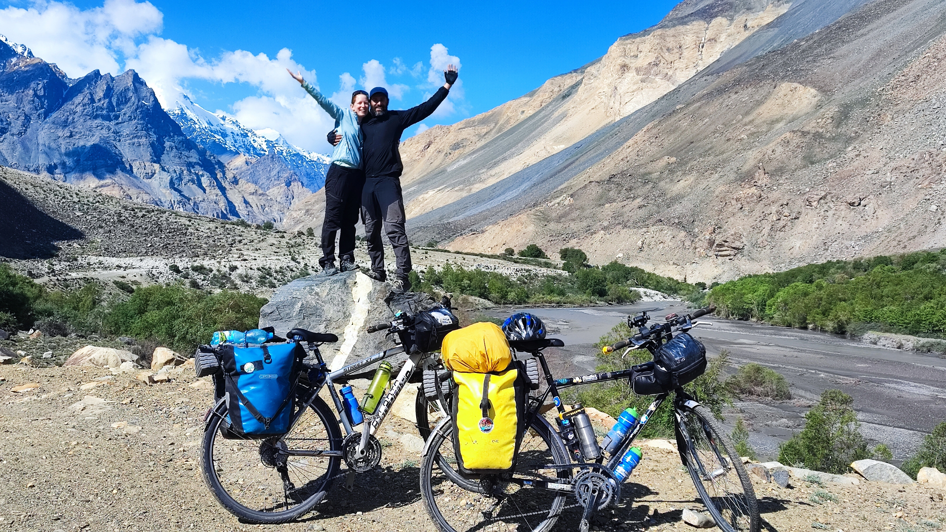
Crossing the Pamirs was always the main goal of this journey without a fixed destination. I had read a lot about the Pamir Highway and watched many documentaries about the main mountains, valleys and lakes in Tajikistan, and visiting this part of the world by bike was a dream of mine. A dream that has finally come true… and in what a way! Crossing one of its most legendary, remote and demanding valleys for any cyclist: the Bartang valley. In this article I will tell you all about our adventure in every detail, I hope you enjoy it!
You’ll find the GPX files of this route at the end of the article.
Content:
- How to get to the Pamir and the permits you need
- Options for crossing into the Pamir: pros and cons
- Why did we choose the Bartang?
- Preparing for the Bartang
- A Bit of Background
- Our route step by step
- And after that, what next?
- Some tips
- GPX files
How to get to the Pamir and the permits you need
The vast majority of people who go to the Pamir by bike come from one of the two ends of the classic Pamir Highway: Dushanbe, the capital of Tajikistan, or Osh in Kyrgyzstan, typically the end of the route, though these days for many it is the starting point. It is also possible to come directly from China through the Qolma (Kulma) Pass, which cannot be crossed by bike and is a very minor option (yet getting slightly more popular as a shortcut from/to the Karakoram Highway), so let us focus on the most common routes.
Depending on your passport, you may or may not need a visa for Tajikistan, so you should check the website of your country’s embassy or that of the Ministry of Foreign Affairs. For us, both from countries in the European Union, there is a 30-day visa exemption, although as you will see, there is a catch. We arrived by plane from Iran and at the airport we had the option of obtaining a visa for 60 days for about 60 dollars or something like that, which we did not do because we thought 30 days would be enough for our plan. In general, 30 days are enough for any route and even for some loops if you travel light and are in good shape. Note that this visa was not a visa on arrival, or at least it did not seem to be, so do not try to fly without a visa and hope for the best. Think of it as a way to get 60 days if you already have the 30-day exemption. In fact, we were told that with this extension we would still have to register, which I will explain in a moment, and also apply for the GBAO permit, which I will also explain shortly.
Those who enter without a visa and plan to stay more than 10 days in Tajikistan must complete a registration process, which is basically a way for the authorities to charge you anyway, and it is done at the same place and time as the GBAO permit. Everything can be done in half a day, you leave your passport in the morning and pick it up in the afternoon with the permits, sometimes even immediately, and it costs about 30 dollars in total. On that registration you will see your exit date, that is, the maximum of 30 days, although some travelers for no apparent reason have been given 60 days. I know two French bikepackers who went together to the office and one was given 30 days and the other 60. Something inexplicable, like many things that happen in Central Asia.
You will need the registration to leave the country, and the GBAO permit will be checked at some point on the road, which is not always fixed. The military asked for ours in Tavildara, before entering the GBAO, so do not try to skip it, or you could get into serious trouble.
When we did it, a permit was also required to cross the border with Kyrgyzstan, which was obtained online and cost around 15 dollars. Another revolutionary tax that could leave you stranded in the middle of nowhere for days if you did not have it, but it was removed a month later and has not been reinstated, so for now you do not need it. However, since these things often change, make sure you check the current situation before your trip.
Options for crossing into the Pamir: pros and cons
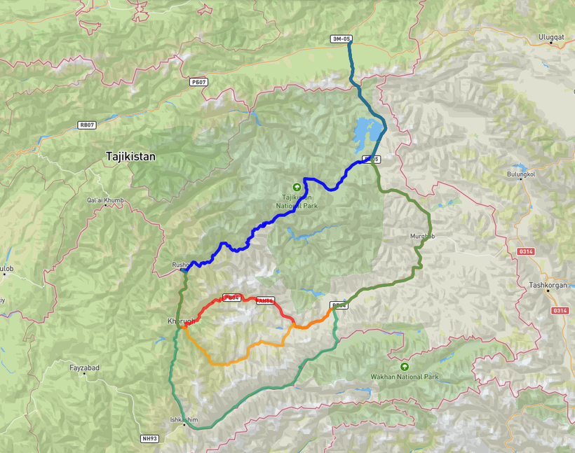
Leaving aside the most direct road between Dushanbe and Kyrgyzstan, which basically keeps the Pamir to your right and is of little interest to the adventurous bikepacker, the classic literature and most of the information online mention three main options for crossing the Pamir region through the GBAO by bike: the classic Pamir Highway or M41, and the Bartang and Wakhan valleys. There is also a fourth route that is becoming increasingly known, through the Shakhdara valley, as well as extensions such as the Zorkul Lake, which I will also describe so that you have all the options and can choose. Let us look at them one by one, with information from my own experience, that of other bikepackers I spoke with before and after, and from the research I did prior to the trip, which was quite extensive.
-
Pamir Highway / M41 (red): this road was built during the Soviet era and has not been properly maintained until recently, when China began to renovate some sections for truck traffic as part of the New Silk Road. It follows some historic trading corridors, but the road itself was built during the Soviet era. And that is its greatest charm, more imaginary than real once you are actually on the ground. Unless you consider modern truck traffic a continuation of the historical one, which would require a fair bit of imagination.
Distance: 615 km
Elevation gain/loss: +6750 / -5570 m
Highest point: Ak-Baital Pass (4655 m)
Why do it: the least remote, more external help available, passes through villages, and although in bad shape, the road is better than the others.
Why not do it: truck traffic, less adventure, less remote, and you will ride many sections of the M41 before and after anyway.
My opinion: coming all the way here just to eat dust from trucks for weeks would only make sense if you are connecting other routes in a loop or if you need to because of the difficulty of the others.
-
Wakhan Valley (green): by far the longest of all options and the one that runs the most time along the Afghan border. Many people plan to do this route and end up switching to the M41 when they realize they are not in shape, are short on time, or their gear starts failing, and they fear getting stuck. More remote than the M41 but still with some villages, and a bit less remote than the Bartang. To me, it is very appealing if you include the Zorkul Lake extension (which requires an additional permit) to spend more time in isolated and unique areas. I know one person who did the Wakhan with the Zorkul extension, and that part was their favorite. From what I have seen in photos, it looks very interesting for another adventure in the future.
Distance: 735 km
Elevation gain/loss: +8800 / -7650 m
Highest point: Ak-Baital Pass (4655 m)
Why do it: longer route, more time alongside Afghanistan and its mountains, good connection with Zorkul Lake to extend the journey and take longer before joining the M41.
Why not do it: it joins the M41 earlier, which means less remote riding, and it might be too long or demanding for slower cyclists or those short on time.
My opinion: a very good alternative, everyone who has done it recommends it and I believe them. If I had not done the Bartang, I would probably have gone this way.
-
Bartang Valley (blue): a valley that cuts across the GBAO almost through its center, the first to leave both the Afghan border and the M41 to head into more remote territory. It is the most remote option due to the very small number of villages (there are no large settlements once you leave Rushon), almost none before the pass that leads to the plateau, but also the shortest in distance and time (you cover fewer kilometers per day than on the others, but still finish earlier), and the one that stays at lower altitude overall (the others rejoin before reaching the Kyzyl-Art Pass).
Distance: 410 km
Elevation gain/loss: +4760 /-3580 m
Highest point: there is no high, prominent pass that you climb and then descend, and the plateau sits around 4100 meters. The highest point is reached at the Kyrgyz border at Kyzyl-Art, 4280 meters.
Why do it: the most remote and the one with the most challenging terrain, probably a bit more beautiful than the others (according to people who have done several, like an Italian motorcyclist I met in Karakul), and it is much shorter, so it takes fewer days despite its difficulty.
Why not do it: you spend fewer days in the Pamir (especially if you ride it downhill or east to west, which takes only 3 or 4 days), if you have problems there are few options for help, it is quite tough east to west because it is mostly uphill, and you need to carry more food and water, and the road is in bad shape with many stones.
My opinion: if you have come to the Pamir looking for adventure and a challenging route, this is the best option and the one where you will spend the most time alone, enjoying the Pamir to yourself. Riding it downhill is what most people do to finish quickly and still see the Bartang without suffering too much, but if I had the time, I would do the Wakhan to spend more days in the Pamir.
-
Shakhdara Valley (orange): this route is the most off-the-beaten-path one, although not necessarily the most remote. Few people ride it, which makes it easier to discover from scratch during your own trip.
Distance: 625 km
Elevation gain/loss: +8020 / -6850 m
Highest point: Ak-Baital Pass (4655 m)
Why do it: the least known route, ideal if you want to ride where very few others have been, and it connects well with other options for loops.
Why not do it: a cyclist who rode it and also knew the Wakhan told me it is less scenic than the Wakhan, although still nice. From what I have found, it seems like a less impressive version of the Wakhan, and rarely the top choice for someone new to the area.
My opinion: if you already know one of the other routes or want to go somewhere almost no one has gone, it is probably an interesting option, also suitable for loops like Shakhdara plus Wakhan, or Shakhdara uphill and Bartang downhill.
As I mentioned before, some people add the Zorkul lake to their route, especially those crossing the Wakhan valley. It would be possible from the M-41 as well, but that’s way less common because it’s a considerable detour from a route that probably was chosen to avoid exactly that. I have been told that apart from being particularly beautiful, it is also rather remote. If you choose to add it to your route, be ready to spend a couple of days with very limited assistance if things go wrong. But you came to the Pamirs to live adventures, didn’t you? On the other hand, it’s just about 165 km and +1300 m, just a bit longer than if you stick to the regular route, so what could go wrong? 😉
Why did we choose the Bartang?
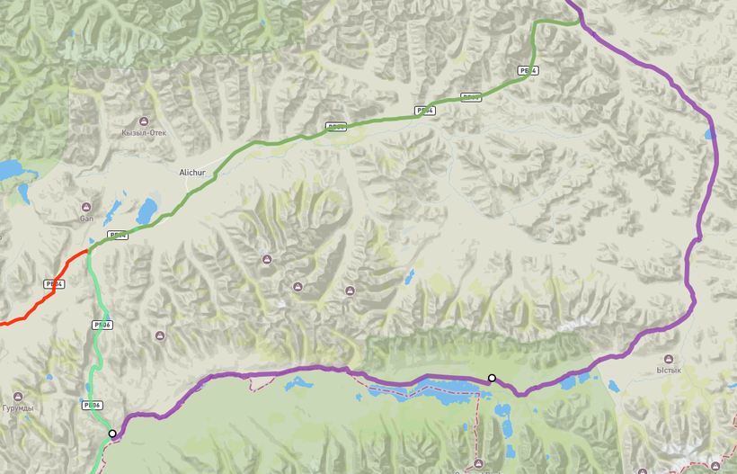
The truth is that the choice was not easy, and for a while we also considered the Wakhan Valley. We were sure we did not want to follow the M41 with its truck traffic on a dusty road, which was also the least remote and adventurous option. And maybe because we had already come along the M41 until Rushon, we decided to go for the route that was furthest from traffic and civilization in general.
One of the advantages of the Bartang is that you only come across a couple of jeeps a day, and when it joins the M41 it is much farther down the road, beyond the point where the Chinese roads enter Tajikistan, so you do not see those trucks anymore, unlike on the other routes. Another factor we considered when choosing was that several people who had done the valley recently spoke very highly of it, most of them in the opposite direction (which is much easier because it is all downhill, let’s be honest 😆), but also west to east, as we would have to do it. We knew that the rivers were in good condition to cross, that there were almost no tourists in the area, and that it would be a real adventure. The first cyclists had crossed it only a few days before we arrived in Dushanbe because it had been closed by snow, and most of the bikepackers we talked to at the hostel were planning to do the Wakhan (most of them changed their minds shortly before leaving and ended up doing the M41 because they were already exhausted 😂). Since we did not want to ride in single file and follow other people’s tracks (something we would already do before and after the Pamir), the Bartang seemed like the option that best matched our expectations: a challenging route with no external help and stunning landscapes all to ourselves.
We are very happy with the choice we made, and we would do it again if we went back in time. But if we had done the Wakhan, I am sure we would have loved it too and enjoyed it just as much. I am still convinced that I will cross it one day not too far from now, maybe combining it with the Zorkul Lake or doing some crazy loop that includes the Shakhdara Valley… we will see!
Preparing for the Bartang
If you are going to ride through the Bartang Valley, which lies within a national park, you technically need another permit. It is more like an entrance fee for the national park, paid per day you spend inside, but it really looks like a kind of revolutionary tax. There is no office to buy it, and in fact almost no one who crosses the Bartang has it. The few who have been charged were approached by a ranger already inside the valley, usually in the morning when he saw their tent, or in the village of Savnob, where he is said to be based. Savnob is not a village you need to pass through — it is slightly off the main route — and it is unlikely that the ranger will spot you camping unless you go that way, though I do know of a few people who were asked to pay. That said, almost no one I have spoken with (ourselves included) was charged or even saw the ranger, and no one was ever asked for any park permit. The whole thing is so vague that some travelers who paid even haggled over the price per day. Pretty shady. I know of another person who simply ignored it, kept riding, and nothing happened. The most common situation is that no one will ask you for anything, but I mention it so that you are aware.
Let’s leave the topic of permits aside and talk about other aspects of preparation. Rushon, the town right before the start of the valley, is the best place in the area to buy food, especially if you want anything beyond the most basic supplies — though you still should not expect much. You can find special items only in Dushanbe, but do not even think about carrying rice or pasta from there, since you can get that everywhere. Once inside the valley you will only find small local shops that are more commonly named magazin (apparently, “shop” in Russian), and not in every village. They usually open on demand (ask locals where to find them) and sell very basic things like rice, canned food, and of course soft drinks, which for some reason are available everywhere on Earth no matter how remote. To get bread, ask around — people bake their own, and someone will always have some to sell.
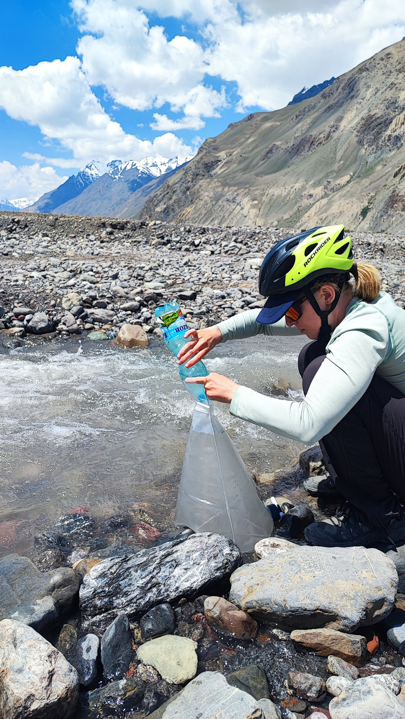
Finding water is not a big problem, at least until you reach the plateau. You often ride next to a river and cross small streams, and everything is marked on OpenStreetMap (OSM). Until you reach the plateau (in our experience) you never need more than a day’s worth of water, and you definitely do not need to carry extra water for the climb to the plateau like we did — I will explain that later. Once on the plateau, you may go for a day without water, but there is a river in the middle section that will save you from carrying enough for three days.
As for the type of bike, setup, and spare parts: we did it on our city bikes without major problems — the key is to have your tires in good condition. They do not need to be very wide, as there is not much sand, and you do not need extra traction for any reason, no matter what people say. Wider tires might help with comfort on rocky terrain, that’s all. Some sections have sharp slate-like stones that can make serious cuts; I had one that didn’t go too deep, but through that small cut a few days later a tiny stone got in and caused the first puncture of the whole trip. I do not mean to alarm you — it does not happen often, and Rebecca (and others) had no issues. But do not go with completely worn-out tires 😉 You do not need any special setup, but the lighter, the better, since pushing the bike up to the plateau will be easier 😆 That said, bring spare parts and make sure everything is in good condition, because once inside the valley you will not find any workshops, and you will have to solve problems yourself. I broke a spoke on the rear wheel and since I did not have the tools to remove the cassette, I had to bend it to install it and then straighten it again. It is still holding up fine, but it could easily have gone wrong. Both of our rear racks also broke, and we had to hold them together with zip ties, but that happened because we had (and still have) those cheap universal racks that always break where they attach to the frame near the wheel axle. After the Bartang we had those parts custom-made in steel by hand, and although they are not the prettiest, they are indestructible and still with us.
The moral of the story: be prepared for any technical issue and be ready to improvise with what you have. In extreme cases you might be able to get a jeep to take you out of the valley, probably back to Rushon if you are not already on the plateau, but that will be expensive and complicated, so do not rely on it too much.
A Bit of Background
The Bartang Valley has a few peculiarities, some common to the whole GBAO region and others entirely its own. To begin with, people across the GBAO speak languages different from Tajik, and Bartang is no exception. In fact, it has a few linguistic quirks that make its dialect recognizable even to other Pamiris, or so they told us! The Bartangis identify very strongly with their valley and consider themselves part of one big family even if they live in villages many hours apart. Some locals told us that when they visit another village, someone will immediately offer them a place to stay as if they were a cousin. If you ask them, they will say they are Bartangi first, then Pamiri, and only after that, sometimes but not always, Tajik.
Geography plays a central role in the valley and in the lives of its inhabitants. There are very few connections to the outside world beyond the two ends of the route, and on the plateau side there is not much to connect to anyway 😆 It is technically possible to reach the M41 highway on foot from some points, but those paths are rarely used. For most locals, the only real link to the outside is through Rushon, which serves as their kind of metropolis, a place to buy supplies and handle errands. The road through the valley is far from perfect, but locals say it has improved enormously and they no longer need five or six days to get out of the valley from the upper villages. Imagine what it must have been like before!
Although few tourists venture that far, there are a couple of interesting places you can reach on foot from the valley, such as Lake Sarez and the Fedchenko Glacier, the longest glacier in the world outside the polar regions. Generally, bikepackers are not big on hiking, and Tajikistan is not exactly the best country for it anyway because of the lack of marked trails, minimal infrastructure, and in some areas, though not in the Bartang, the presence of landmines left from the civil war. We do like hiking, but we decided to save it for a better prepared country like Kyrgyzstan. Still, if you are interested, it is possible to reach the lake and the glacier. Lake Sarez can be visited either with quite expensive guided tours or independently, while reaching Fedchenko Glacier is a much more serious and risky adventure, more than a day’s hike and possibly involving glacier travel, no idea if there are crevasses or not. If someone spots you wandering around there, they might ask for the park permit I mentioned earlier or maybe even invent a new one to squeeze some extra money out of you, but honestly it is unlikely anyone will see you if you keep a low profile.
Lake Sarez is legendary among the Bartangis not because of its beauty but because of the historical event that created it, a story locals will eagerly tell you, often more than once. In 1911 a massive landslide produced by an earthquake blocked the river that flowed through the valley, wiping the village of Usoi off the map and killing all its inhabitants instantly. The natural dam, called after that village, formed Lake Sarez at its current size, flooding the nearby village of Sarez itself. Its residents had to flee quickly, leaving most of their belongings behind. Some escaped through the rough paths toward the M41, while others went downstream into the Bartang, most settling in Ghudara. If you want to impress the locals, tell them this story before they tell it to you, and they will probably invite you for a meal 🤩
Although the local wildlife includes almost mythical animals like the snow leopard, ibex, and Marco Polo sheep, the region is vast, and these animals can easily avoid humans, so you are unlikely to spot them. You will at least see eagles, rabbits, marmots, and similar creatures as they are plentiful. As for flora, there is not much beyond the riverbanks and meanders where villages usually sit, the rare patches of land suitable for cultivation. For locals, climate change has surprisingly been a good thing, at least in the short term. They told us they can now grow more crops than before, even fruit trees like apricots, which was unthinkable forty years ago. Winters are also milder now, though I imagine they are still brutal.
Our route step by step
Day 1: Rushon to Rajuz
The first day is very easy, and you even ride on asphalt in very good condition (much better than the M41) during the first 15 km of the valley. This part is quite green and the valley is wider, as usually happens in the lower parts of valleys. You can see some waterfalls in the distance and mountains that are still not very high, and you pass through several villages close to each other, some with homestay signs. That is something you will stop seeing soon, even though there are still a few places to stay, just not advertised on the main road for some reason.

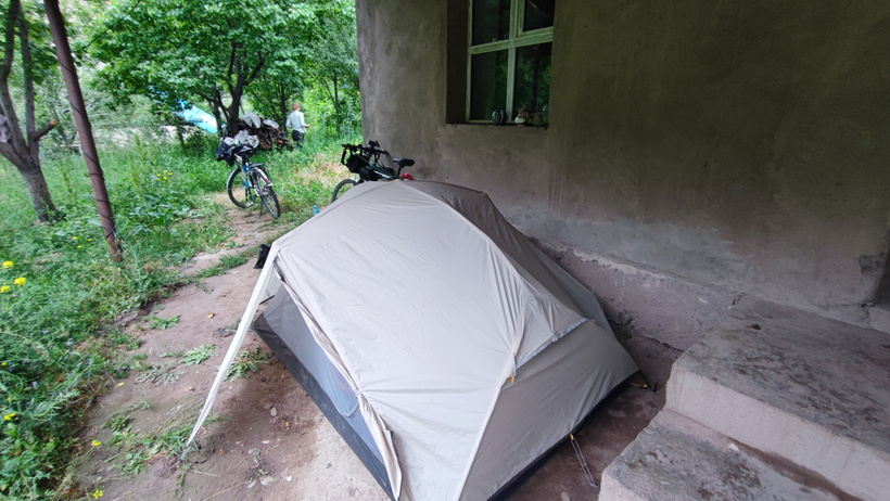
Once you leave the asphalt behind, the dirt road gradually gets worse, though the worst part is still far away and here it is still quite reasonable, even if it starts getting rocky. Although the day started sunny, by the afternoon it got cloudy, and to avoid camping in the rain, we asked a man from the village we had reached (Rajuz) if we could camp under his porch. Of course, he said yes and even invited us for dinner. Since he sold fruit (mainly watermelons, of which we ate a lot) and vegetables, he gave us a bunch of cucumbers for the road. What a difference compared to our experiences in Bosnia and Croatia!
Day 2: Rajuz to Yapshorv
A day with little elevation gain, the road is in worse condition with some very rocky parts, but with fewer villages (which will see from a distance because they are much greener than the rest of the landscape) and therefore fewer people, which means more solitude to enjoy the Pamirs. Finding water is still no problem because you often pass small creeks and natural springs where you can refill.
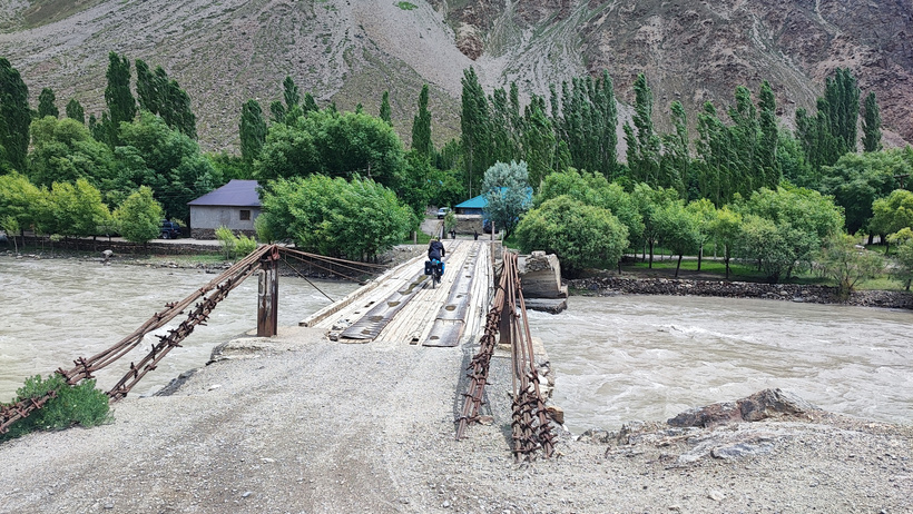
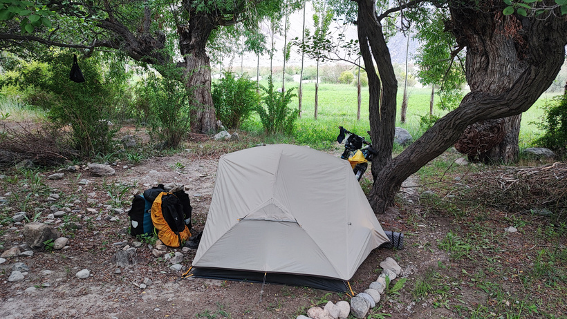
We reached Yapshorv that day, where there is a tiny magazin (you can skip it if you have enough to reach Ghudara, which has a bit more) and a very basic guesthouse, near the end of the village but not on the main road (one of the last houses, slightly larger than the rest). We continued about one kilometer further to some trees on the right side of the road, where we were well hidden and quite protected from the wind.
Day 3: Yapshorv to Ghudara
A tougher day than the previous ones because you have to cross two medium passes, with the road in poor condition between them, mostly because of the many rocks (sometimes you ride along a dry riverbed). Between the two passes, off the main road, lies the village of Sabnov, where supposedly the ranger waits to charge you the national park entrance fee, so think twice about whether you want to go in. After the second pass toward Ghudara (a bit steep, especially near the end), you have a downhill stretch, a flat part (possibly with headwind like we had) to Pasor, and then some short ups and downs until you cross the river via a bridge right next to Ghudara.
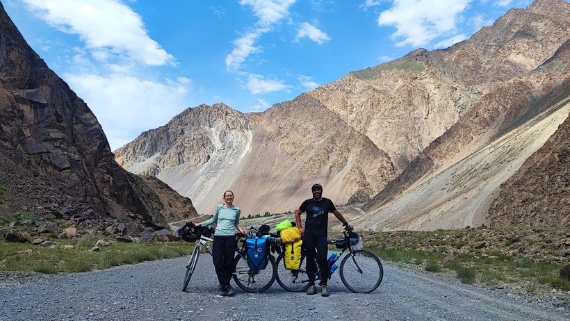
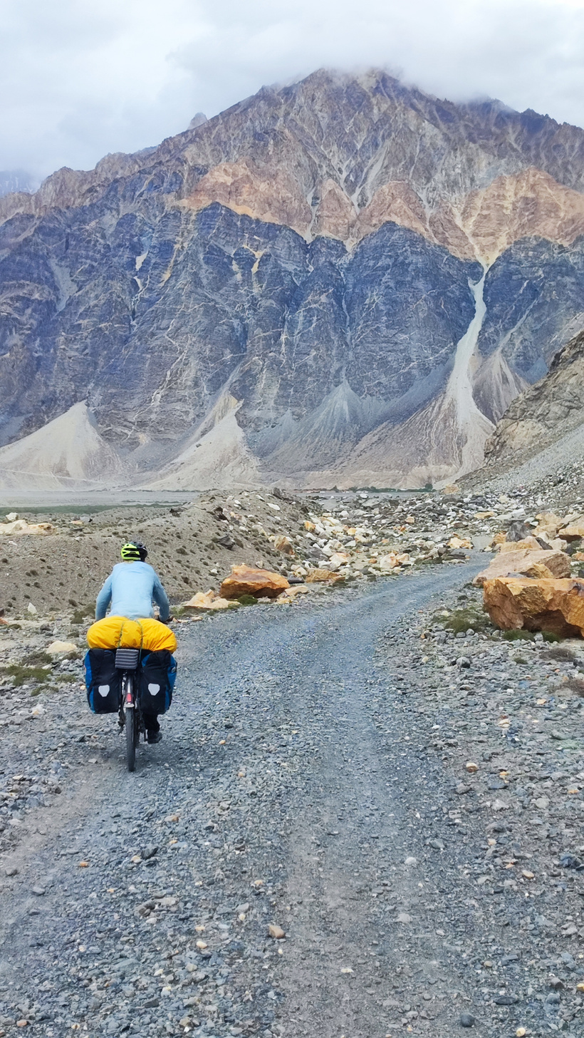
In Ghudara there is a magazin at the beginning of the village on the left that opens on demand, and two homestays: one inside the village that you cannot see from the road (Snow Leopard), and another one at the end of the village also on the left, next to the road. We stayed at the latter because it felt cozier (the family lives in the same building) and people had told us good things about it. The Snow Leopard is also basic but slightly more modern, though less welcoming. Prices are around $15 per person per night in both cases, ours included breakfast and dinner, I do not know about the other one. In ours, they actually ask you to pay what you think is fair, but be reasonable.
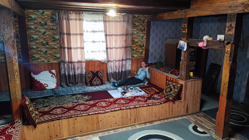
Day 4: Ghudara
A rest day to do some hiking around and socialize with the locals. Besides inviting us for pilov (a typical dish made of rice and meat that you’ll find in several countries while visiting Central Asia), the neighbors told us lots of stories about the valley, and it was truly entertaining.
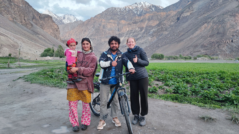
Hiking here means following one of the trails leading toward neighboring valleys and mountains, which are generally used by shepherds, and of course, not marked. You will find some trails marked on OSM, and not far from Ghudara begins the one that leads toward the lagoon on the way to the Fedchenko Glacier. We did not hike that one, so I cannot give more details, but I know it is possible and that it more or less starts in the previous village, Pasor, on the north side. In our case, we walked up the valley east of Ghudara after crossing the bridge you use to enter. The first few kilometers are easy, and then it gets a bit trickier with some rock hopping, but nothing technical or dangerous.
Day 5: Ghudara to the Plateau
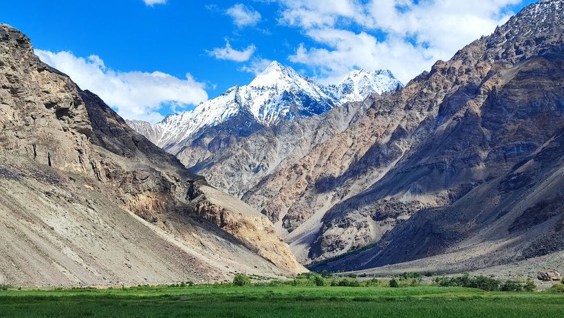
Right after leaving Ghudara you face the first steep climb, although it is short and ends quickly. After a few river crossings and about 35 km of very gentle ascent through the valley, which is one of the most pleasant parts of the whole route, the pass leading up to the plateau begins.

The pass is quite steep and longer than it looks on the map or at first glance (about 600 meters of elevation gain that feel like waaaay more), and you will have to push the bike for a long time. It is better to take it easy, enjoy the incredible views, and go slowly with some breaks.
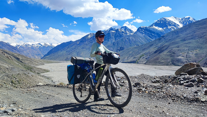

We had been told to fill up on water before the climb because we would not find any rivers afterward, so we carried no less than 19 liters of water during the entire ascent… for absolutely nothing! The first thing you find when reaching the top of the pass is a couple of clean rivers, perfect for refilling, which somehow our sources had forgotten to mention. It was the first time we carried that much water for no reason, but not the last, as I mention in our ride across Mongolia between Bulgan and Olgii.
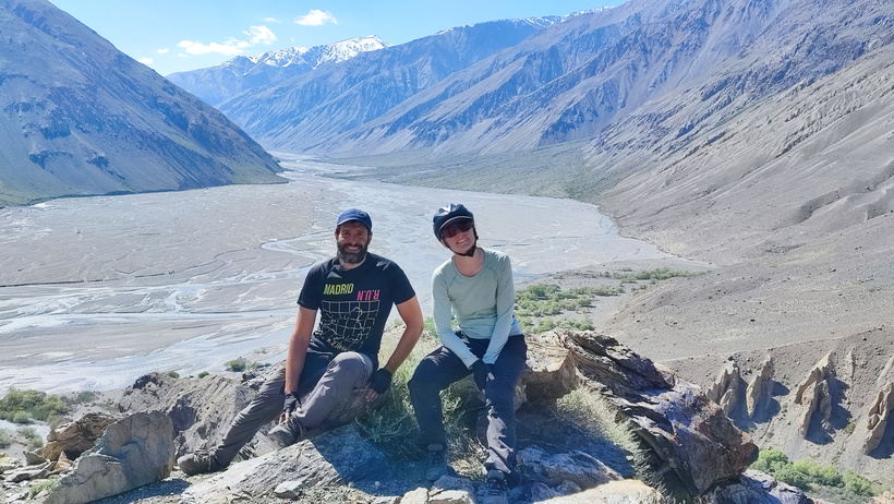
Once you are over the pass, there are a few smaller ups and downs until you reach the plateau itself, where after a while you will not see rivers for several kilometers, nor shelters in case of strong wind or rain. Try to use small hills or slopes to protect your tent from the wind if you need to camp. By the way, shortly after reaching the plateau you will see some shepherds, and there you might be able to get some basic food if you are completely out, though that should not be the case if you stocked up in Ghudara, right?
Day 6: Plateau
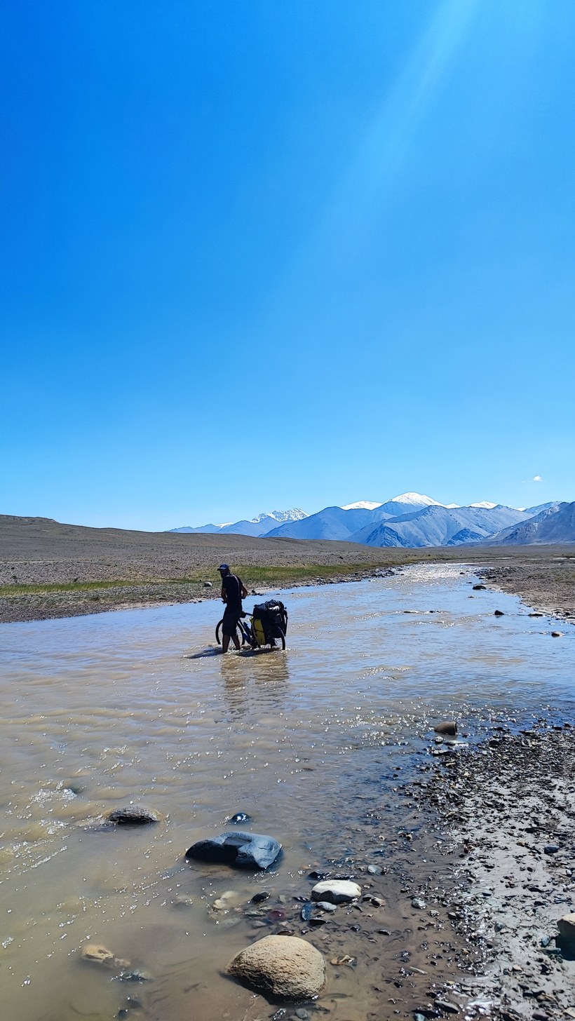
On this day with little elevation gain, once on the plateau you will find some of the most spectacular mountain views of the entire route, with snow-capped peaks over 6000 meters in front of you.
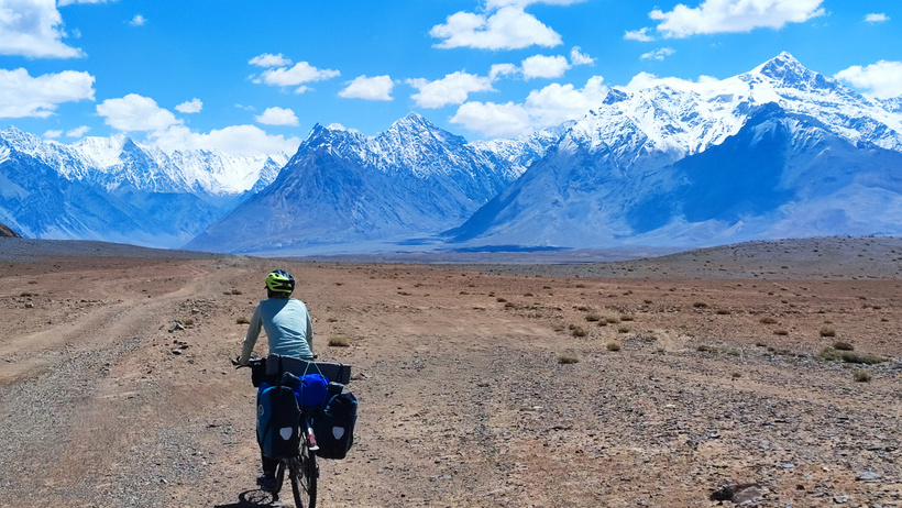
There are still some rivers (you will have to cross one or two), so finding water is not too difficult. Along those rivers there are some green meadows with plenty of marmots running around and, at one point (marked on the map as accommodation, though I do not know if it really is), a couple of yurts near another bridge. Still no shelters though, and since it started getting quite windy in the afternoon, we left the road and went into a small valley between hills to build a little stone wall. Enough for a comfortable night.
Day 7: Plateau to Karakul
The last day was quite easy because the road is fairly flat (the final stretch toward the highway even downhill) and although corrugated, you can almost always ride on the outer edges without problems. There is a bit more traffic here (not much, maybe one car per hour) and it was where we met the only other cyclists since the French woman on the first day. People coming down the valley from Kyrgyzstan were starting to arrive, but we would not see them again. Once you reach the highway (back to the M41), you find perfect asphalt and almost no traffic, since locals generally do not go to Kyrgyzstan, especially not this way. After a few kilometers, you reach the legendary Lake Karakul, surrounded by white mountains and deep blue water, one of those places I had dreamed of visiting after seeing it in countless documentaries for years.
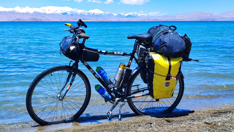
Another reason for the lack of traffic is that in the only settlement before the border, Karakul, there is practically nothing. It is a medium-sized village with a guesthouse and a hotel, no real shops (a small magazin in the hotel), and a very simple restaurant in the center. We had no reason to stay there, so we ate at the guesthouse and continued another 20 to 25 km to camp next to a dry riverbed, where the road climbs a small step in the terrain, and you are more sheltered from the wind, though we still built a small wall for extra comfort. Maybe part of it is still standing there!
And after that, what next?
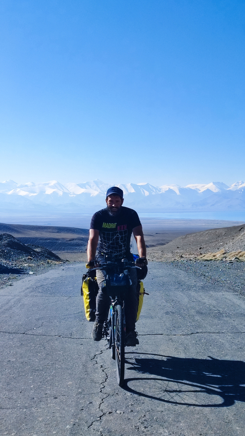
The obvious thing to do, and what almost everyone does in both directions, is to continue along the M41, either from Karakul to Kyrgyzstan over the Kyzyl-Art Pass to reach Sary Tash (we stayed at the Orkan Hostel, there are cheaper ones, but this one is quite good and there are usually a few bikepackers around, you might even spot my sticker in the dining room 😃), or toward Dushanbe and stay at the legendary Green House Hostel (where almost all cycle tourists stay and where you will also find my sticker, hopefully still there!).
There are not many other options unless you have the time and energy to make a loop including another of the routes, and it makes sense for you to return to your starting point, or to combine two alternatives instead of one and see almost everything in one go. You need to be in good shape and travel light, or have two months to spare, just saying, but I know two bikepackers who managed to do it in less than a month by riding long stretches every day. In fact, that is probably what I would have done myself, but when you travel as a couple the pace is different, and that is perfectly fine 😃
Some tips
-
Many people worry about the river crossings in the Bartang valley. Although we didn’t have any problems in that regard because they were rather shallow in June, they can get way more challenging later in the season when more ice melts from the glaciers, and also if it rains a lot for several days. Do not underestimate the strength of the rivers and gather all the information you can before entering the valley and once you are there, ask the locals about the current conditions.
-
The classical route goes directly from Sary Tash to Osh without any detours, but I strongly recommend heading to the Lenin Peak first because its surroundings are incredibly beautiful, and the whole area is awesome if you want to hike for a couple of days or camp in amazing spots with some of the best mountain views you will ever have.
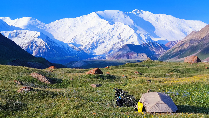
Just follow the road from Sary Tash to Sary Mogul and then the dirt road to the Tulpar lake, which is near the Lenin Peak base camp. From there, there are some famous hikes to the Traveler’s Pass (4140 m), the Lenin Peak Camp 1, or even to an easy 5000-meter peak called Yukhin Peak (5130 m) that can be climbed with no mountaineering equipment if the weather allows it.
That’s it for today! If you still need some more information, don’t hesitate to contact me, and I will try to help you as much as I can 😉